Maine Circle Part 1 – New Brunswick and Saint Andrews

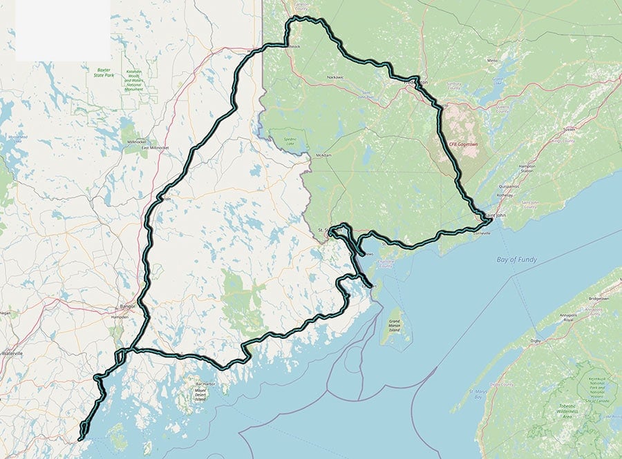
To test the car, I decided for a small circle from Fredericton down to the coast. Passing Saint John along the coast towards the border. After that, a circle up towards Woodstock and back to Fredericton.

The green part of the map is Canada. The white part is the US of A. This was the route I took and if you scroll down you find the pictures I took on the way. I walked a bit in Saint Andrews. So this city has the most pictures in this blog post.
Saint John, New Brunswick
Saint John is the oldest incorporated city in Canada, established by royal charter on May 18, 1785. It is situated in the south-central portion of the province, along the north shore of the Bay of Fundy at the mouth of the Saint John River.
I was too lazy to explore, so I only have 3 pictures.


Saint Patricks, New Brunswick

Saint Andrews, New Brunswick
The historic town is a national historic site of Canada. It features many characteristics of a typical 18th-century British colonial settlement. The site of the town was named Qunnnoskwamk’ook, meaning a long gravel bar in the Malecite-Passamaquoddy language. The present name was given by a French missionary who landed at the site on St. Andrews Day. Penobscot Loyalists settled here in 1783. Later, a lot of Irish immigrants arrived here and soon there made up 50% of the population in town.


Saint Croix, New Brunswick

St Stephen, New Brunswick
The Passamaquoddy people were the first to make their home along the St. Croix River. In 1604 the French explorer Samuel de Champlain and his men spend winter here. Since that time, the Passamaquoddy people were forced from their land. The St. Croix River forms a natural border between the city and Calais in Maine. I crossed the border bridge here.


